Union
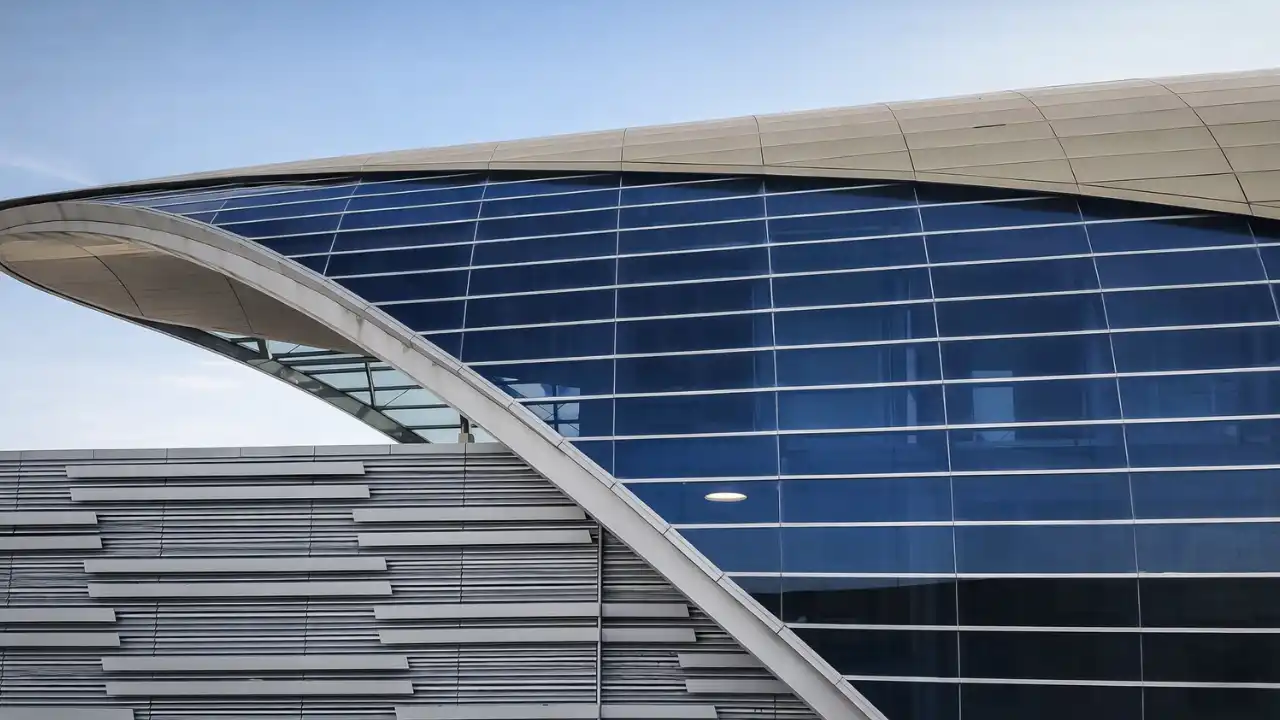
Central interchange with the Red Line in the heart of Deira, one of the busiest and largest stations on the network.
Red Line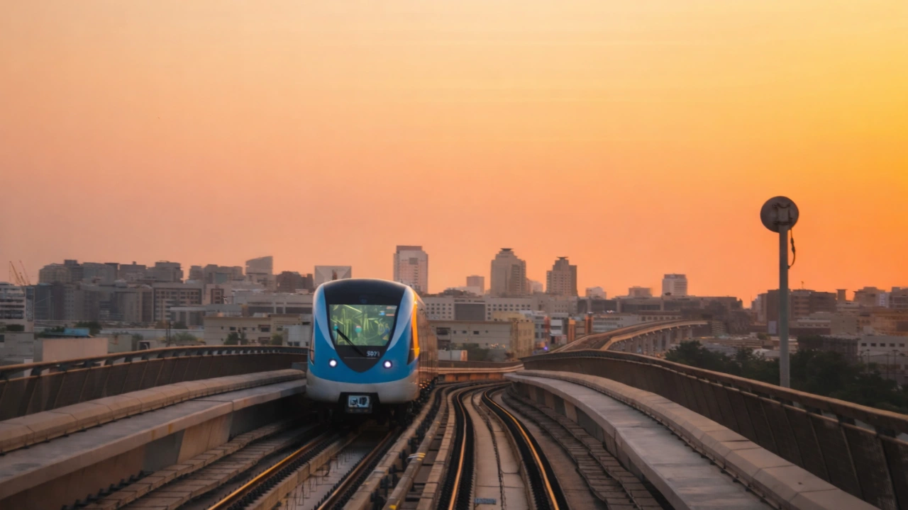
Operating since 2011
Dubai Metro Network
The second line of Dubai's metro: 20 stations through Deira and Bur Dubai, linking Al Qusais and the historic Creek districts with the Red Line at Union and BurJuman, all visible on the Dubai Map.
Opening year
2011
The metro's second line, opened 9 September 2011.
Stations
20
From Etisalat by e& to Creek, across Zones 5 and 6.
Line length
~22.5 km
Around 8 km underground through Deira with the rest elevated.
Top speed
95 km/h
Fully automated, driverless operation.
History
Planned as the second phase of the Dubai Metro, the Green Line was routed through Deira and Bur Dubai to bring driverless rail into Old Dubai's oldest and most densely populated commercial districts.
2006
Construction begins
Work starts on the metro's first two lines, with the Green Line routed through Deira and Bur Dubai and combining underground tunneling beneath the city centre with elevated track on either side.
2010
Testing and trial running
Trial operations begin along the completed sections as the line is prepared for passenger service through Old Dubai's busiest corridors.
9 September 2011
Official opening
The Green Line opens, extending the network beyond Sheikh Zayed Road and creating Red Line interchanges at Union and BurJuman for cross-city transfers.
1 March 2014
Al Jaddaf and Creek complete the line
The final two stations open, taking the Green Line to its full length of 20 stations and extending it to the edge of what is now Dubai Creek Harbour.
2029
Blue Line interchange at Creek
The Dubai Metro Blue Line, now under construction, is set to interchange with the Green Line at Creek when it opens, targeted for 2029.
2032
Gold Line interchange at Al Ghubaiba
The approved Dubai Metro Gold Line is planned to interchange with the Green Line at Al Ghubaiba, targeted to open in 2032.
Key Figures
The essential figures behind Dubai's Old Dubai metro line, from interchanges and fare zones to frequency and future connections.
Red Line interchanges
2 stations
Union and BurJuman link the Green Line to the Red Line.
Underground section
~8 km
Tunneled beneath central Deira, with the rest running elevated.
Peak frequency
Every 5 minutes
Around 7 to 10 minutes between trains off-peak.
Busiest stations (2025)
Sharaf DG, Baniyas Square, Stadium
The Green Line's most-used stops in 2025.
Train type
Fully automated, driverless
A shared fleet with onboard staff for passenger assistance.
Future interchanges
Gold and Blue Lines
Planned links at Al Ghubaiba and Creek.
Station Guide
The full line from Etisalat by e& to Creek, in order of travel. Interchange stations are marked so you can see where the Green Line meets the rest of the network.
Al Qusais & Northern Deira
Etisalat by e& to Salah Al Din, 9 stations.
Old Dubai & the Creek
Union to Al Ghubaiba, 5 stations.
Bur Dubai & Al Jaddaf
Sharaf DG to Creek, 6 stations.
Dubai Map
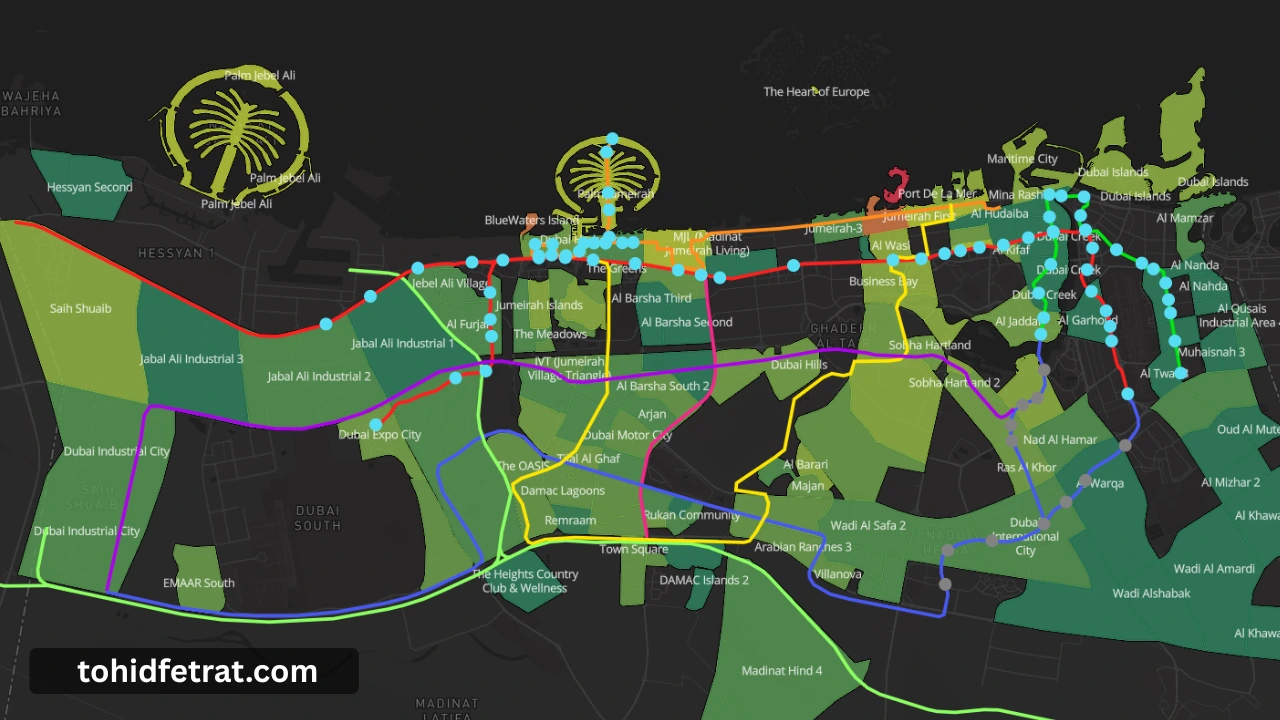
The Dubai Metro Green Line is fully visualized on the Dubai Map, showing its complete route, all 20 stations, and both Red Line interchanges at Union and BurJuman. The map also includes the Red Line, the under-construction Blue Line, the approved Gold Line, the Dubai Tram, and the Palm Monorail in one unified view.
Follow the route to see where the Green Line is set to meet the Blue Line at Creek and the Gold Line at Al Ghubaiba, and which Deira and Bur Dubai communities sit within reach of each station before you shortlist an area.
Connections
Where the Green Line meets the rest of Dubai's rail network. Each interchange puts the surrounding district on two corridors at once.
Central interchange with the Red Line in the heart of Deira, one of the busiest and largest stations on the network.
Red LineSecond Red Line interchange on the Bur Dubai side, linking the Green Line corridor to Downtown, Business Bay, and the Marina.
Red LineHistoric creekside station and major bus hub where the approved Gold Line is planned to interchange with the Green Line from 2032.
Future Gold LineThe western terminus beside Dubai Creek Harbour, where the Blue Line, now under construction, is set to interchange with the Green Line from 2029.
Future Blue LineWhy It Matters
The Green Line threads Dubai's oldest, densest rental districts. Three things worth checking on the map before you shortlist a community.
The line serves Al Qusais, Deira, Bur Dubai, and Oud Metha directly, mature districts where tenant demand is steady and year-round rather than seasonal.
Union and BurJuman already put Green Line districts on the Red Line, and planned Gold and Blue Line links at Al Ghubaiba and Creek stand to widen reach and support resale liquidity.
The western terminus at Creek sits beside Dubai Creek Harbour, one of the city's largest waterfront growth areas, with a planned Blue Line interchange adding a second rail corridor.
Explore the Network
The Green Line is one part of a growing rail network. Explore every line across the system, from the other metro lines to the tram and monorail, all visible on the Dubai Map.
The east to west backbone along Sheikh Zayed Road, meeting the Green Line at Union and BurJuman.
Explore the Dubai Metro Red LineUnder construction and targeted to open in 2029, set to interchange with the Green Line at Creek.
Explore the Dubai Metro Blue LineApproved in 2026 as Dubai's first fully underground line, planned to meet the Green Line at Al Ghubaiba.
Explore the Dubai Metro Gold LineStreet level system serving Dubai Marina, JBR, and Al Sufouh, linked to the Red Line at DMCC and Sobha Realty.
Explore the Dubai TramRuns the length of Palm Jumeirah from the Gateway to Atlantis; service is temporarily suspended for maintenance as of 2026.
Explore the Palm Jumeirah MonorailThe second line of the metro and the line covered on this page, running through Deira and Bur Dubai along Dubai Creek.
See the Green Line on the Dubai MapFAQ
The Dubai Metro Green Line is the second line of the Dubai Metro, serving Old Dubai. It runs through Deira and Bur Dubai along the northern edge of Dubai Creek, using the same fully automated, driverless system as the Red Line.
The Green Line has 20 stations, running between Zones 5 and 6 from Etisalat by e& in Al Qusais to Creek in Al Jaddaf, with interchanges to the Red Line at Union and BurJuman.
The Green Line is approximately 22.5 kilometers long, with around 8 kilometers running underground through central Deira and the remainder on elevated track across Al Qusais and Al Jaddaf.
The Green Line runs from Etisalat by e& in Al Qusais at its eastern end to Creek in Al Jaddaf at its western end, close to Dubai Creek Harbour.
The Green Line meets the Red Line at two interchange stations, Union and BurJuman, where passengers can transfer between lines without leaving the paid area.
The Green Line does not serve the main passenger terminals directly. Its Dubai Airport Free Zone station is close to Terminal 2, while Terminals 1 and 3 are served by the Red Line.
The Green Line serves established districts including Al Qusais, Deira, Bur Dubai, Oud Metha, Dubai Healthcare City, and Al Jaddaf, reaching the historic souqs, dense residential neighbourhoods, and the Creek waterfront.
Yes. The Green Line is planned to interchange with the Blue Line at Creek when it opens, targeted for 2029, and with the approved Gold Line at Al Ghubaiba, targeted for 2032. Both connections can be viewed on the Dubai Map on this page.
The Green Line runs through fare Zones 5 and 6, so the cost of any trip depends on how many zones the journey crosses, paid with a nol card.
Yes. All Green Line stations, interchanges, and future connections are shown on the Dubai Map, alongside the Red Line, the Blue and Gold Lines, the Dubai Tram, and the Palm Monorail.
Tohid Fetrat
Dubai Real Estate Advisor
The Opus by Omniyat, Business Bay